Graphics and Illustration
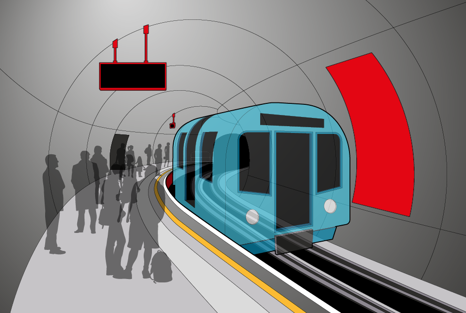
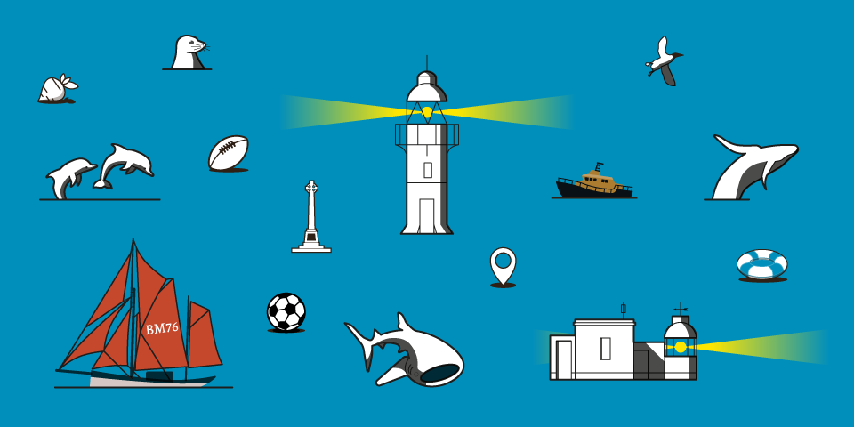
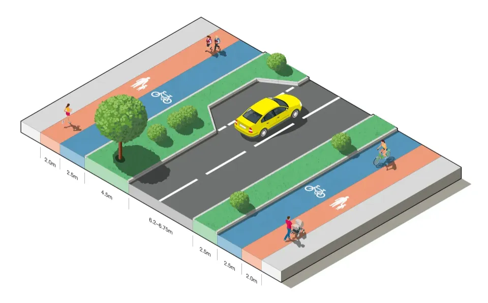
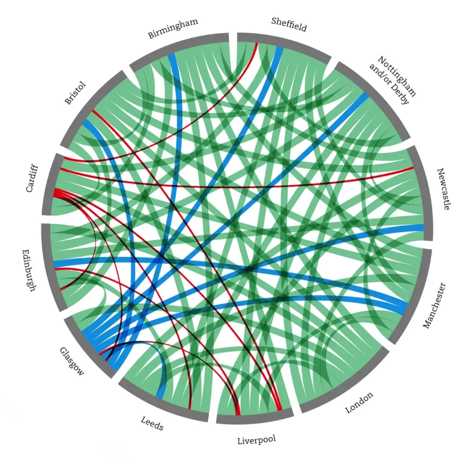
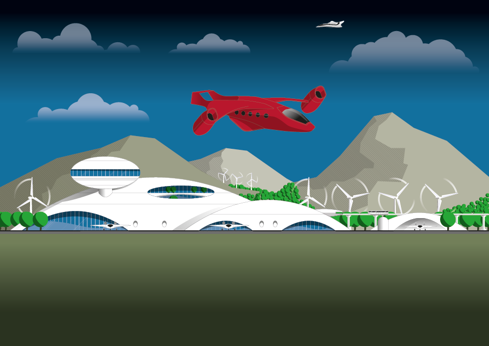
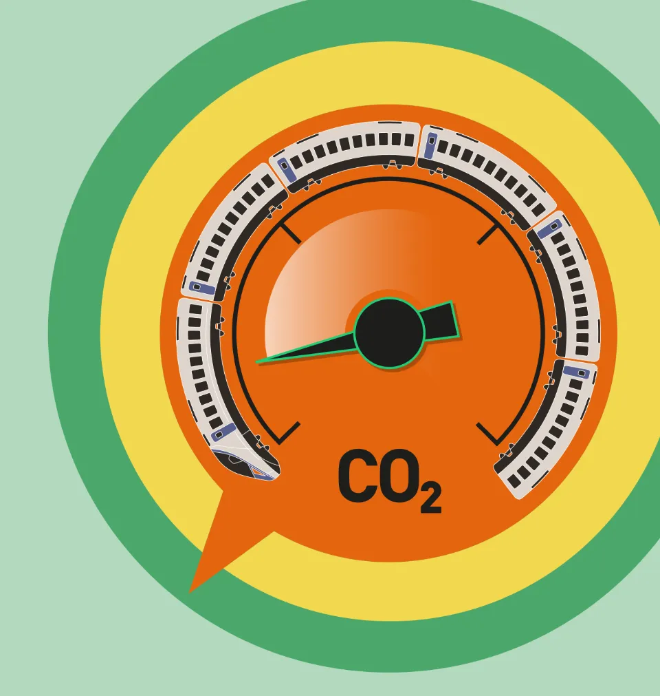
Apart from commissions that are 100% cartographic in output, Jason also gets asked to design and create other graphics – of all kinds – often in support of wider publishing and wayfinding programmes. For example, this has included signage products, pictograms and layouts, graphs and charts, diagrams and technical illustrations, and sometimes quite abstract imagery.
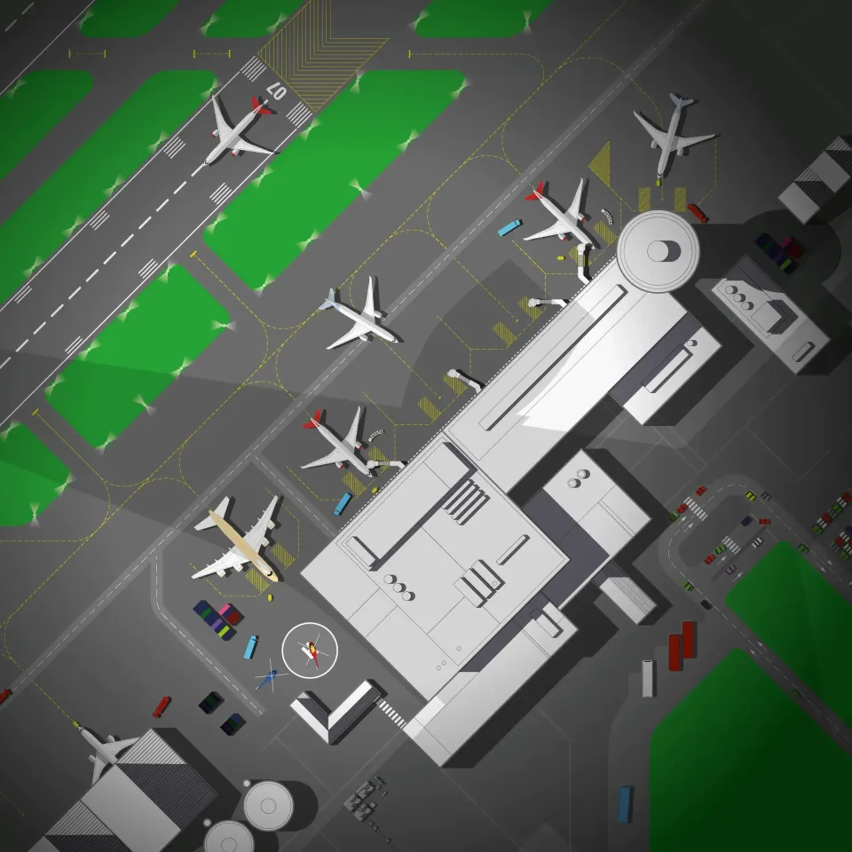
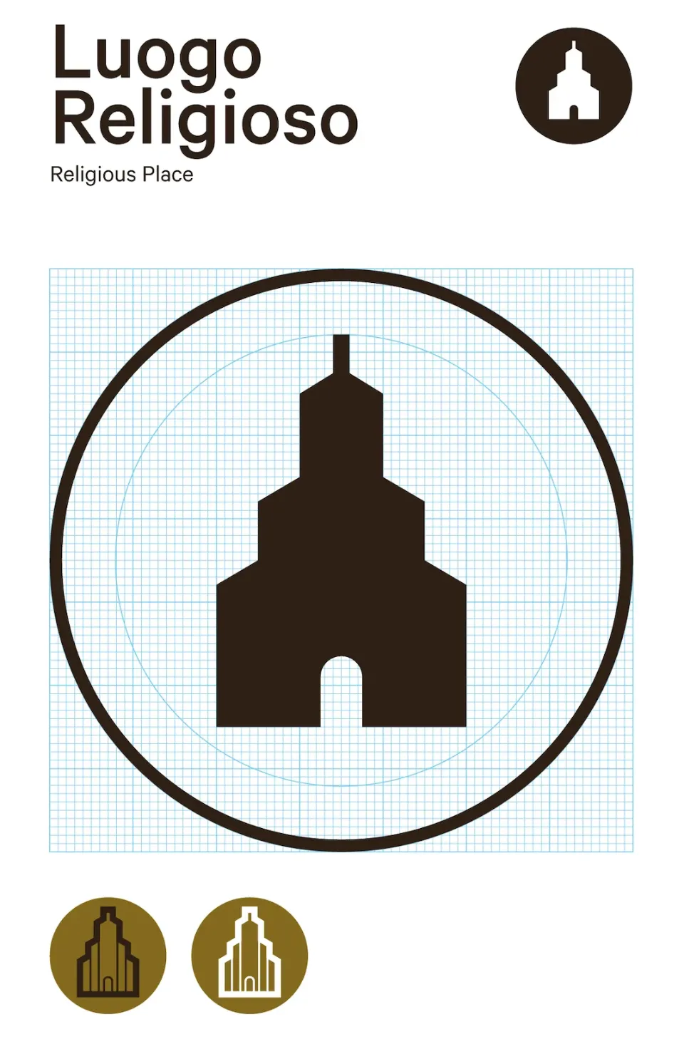
Pictograms have a particular resonance here, being core to most wayfinding projects. The key to successful pictogram design is to be respectul of universal norms, but to also reflect the typographic and graphic style of the map. Off-the-peg pictograms can be dissonant with the graphic language of the map and/or brand.
